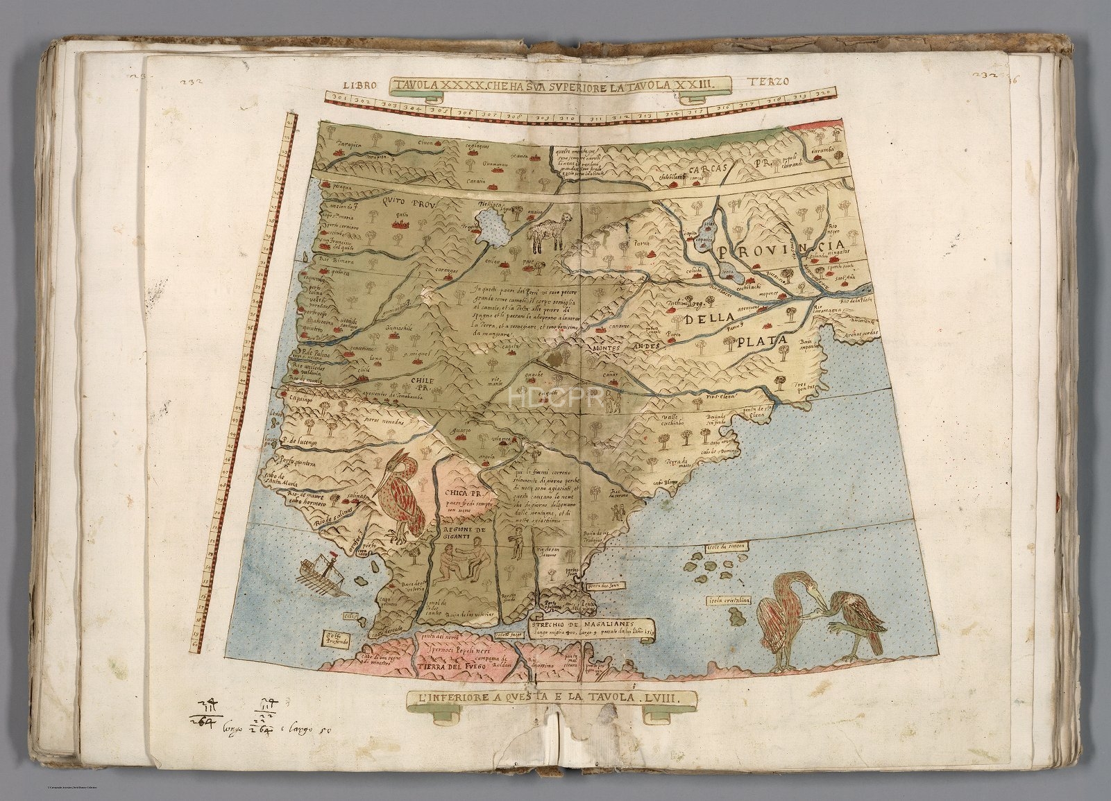
1587 World Map
An extraordinary 60-sheet manuscript world map made in 1587 by Urbano Monte is part of the David Rumsey Map Collection at Stanford University. At 10 foot square, this map is the world’s most extensively known early map. Hand drawn by Monte in Milan, Italy, and only one other manuscript copy exists.
Monte’s map reminds us of why historical maps are so crucial. First, as primary resources: the north polar azimuthal projection of his planisphere uses the advanced scientific ideas of his time. The artistry in drawing and decorating the map embodies design at the highest level, and the view of the world then gives us a deep historical resource with the listing of places, the shape of spaces, and the commentary interwoven into the ma—Science, art, and history all in one document. The sheets always appeared as a series of sixty individual sheets until now.
The map, just over 10 feet in diameter, is one of the largest—if not the largest—world maps of the 16th century. The degree of detail and decoration is stunning, and the entire production is unique in the cartographic representation history.1
Image Gallery
The images in the gallery include maps of the West Indies, Cuba and the Dominican Republic, Spain, and The Canary Islands. There is also an Image of King Phillip de Second of Spain.
Additional Images
Full Collection
- Source:
- David Rumsey Map Collection. You can see the full collection here.


